In 2014, Nigeria halted transmission of wild poliovirus for the first time in its history. A critical enabling component in this historic achievement was the use of satellite data to produce more accurate maps and population estimates used in planning and implementing vaccination campaigns. This article employs a value-of-information approach to estimate the net socioeconomic benefits associated with this use of satellite data. We calculate the increase in the likelihood of halting transmission of polio associated with the use of satellite-based information compared to traditional data sources, and we consider the benefits associated with savings to the healthcare system as well as health benefits. Using a conservative approach focused on just 1 year of benefits, we estimate net socioeconomic benefits of between $46.0 million and $153.9 million. In addition to these quantified benefits, we also recognize qualitative benefits associated with improving human health, reaching marginalized communities, and building capacity among local populations. We also explore the substantial benefits associated with follow-on projects that have made use of the satellite-based data products and methodologies originally developed for the Nigeria polio eradication effort.
|
Date |
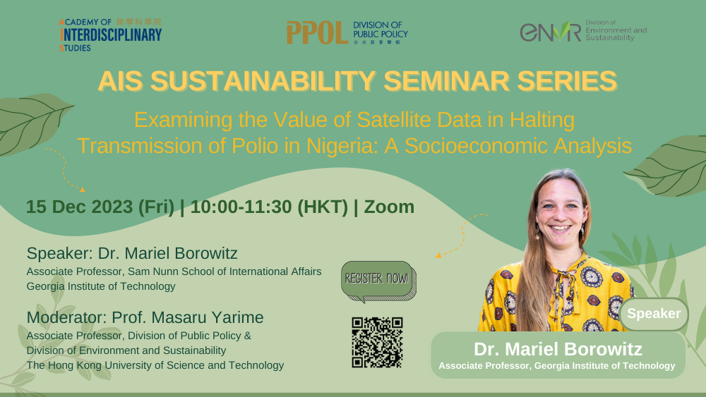
15 Dec 2023 (Fri) |
|
Time |
10:00am-11:30am (HKT) |
|
Format |
Zoom |
|
Topic |
“Examining the Value of Satellite Data in Halting Transmission of Polio in Nigeria: A Socioeconomic Analysis” |
|
Speaker |
Dr. Mariel Borowitz, Associate Professor, Sam Nunn School of International Affairs, Georgia Institute of Technology |
|
Moderator |
Prof. Masaru Yarime, Associate Professor, Division of Public Policy & Division of Environment and Sustainability, The Hong Kong University of Science and Technology |
|
Registration |
https://ust.az1.qualtrics.com/jfe/form/SV_6SxlKuS968iMDxs |
Organised by the Academy of Interdisciplinary Studies
Mariel Borowitz is an Associate Professor in the Sam Nunn School of International Affairs at the Georgia Institute of Technology and head of the Nunn School Program on International Affairs, Science, and Technology. Her research deals with international space policy issues, focusing particularly on global developments related to remote sensing satellites and challenges to space security and sustainability. Her book, “Open Space: The Global Effort for Open Access to Environmental Satellite Data," published by MIT Press, examines trends in the development of data sharing policies governing Earth observing satellites, as well as interactions with the growing commercail remote sensing sector. Her work has been published in Science, Strategic Studies Quarterly, Space Policy, Astropolitics, and New Space. Her research has been supported by grants from the National Science Foundation and the National Aeronautics and Space Administration.
Dr. Borowitz completed a detail as a policy analyst for the Science Mission Directorate at NASA Headquarters in Washington, DC from 2016 to 2018. In 2022, she testified to the U.S. House of Representatives Subcommittee on Space and Aeronautics in a hearing titled, "Space Situational Awareness: Guiding the Transition to a Civil Capability."
Dr. Borowitz earned a PhD in Public Policy at the University of Maryland and a Masters degree in International Science and Technology Policy from the George Washington University. She has a Bachelor of Science degree in Aerospace Engineering from the Massachusetts Institute of Technology.
In 2014, Nigeria halted transmission of wild poliovirus for the first time in its history. A critical enabling component in this historic achievement was the use of satellite data to produce more accurate maps and population estimates used in planning and implementing vaccination campaigns. This article employs a value-of-information approach to estimate the net socioeconomic benefits associated with this use of satellite data.
